The USA and Britain provided Ukraine with satellite images of the Kursk region before the offensive - NYT.

Having received satellite images and other information from the USA and Great Britain, Ukraine was preparing for operational actions in the Kursk region (RF). Such data was transmitted to Kyiv to monitor the movement of Russian military in this region.
According to American officials, this information and satellite images were transmitted to the Ukrainian command of the AFU for better control over the Russian reinforcements that could attack.
US specialists also note that the larger area of the RF that Ukraine is trying to occupy creates a risk of losing control over AFU supplies and air defense systems on the western border. Military officials also note that the deployment of the AFU in the Kursk region leads to the emergence of weak points on the front in the east of the country, especially in the Donbas, where intense Russian attacks are taking place.
"Ukraine has expanded the front line, which carries certain risks, as holding this line requires more personnel and equipment - which, in turn, can deplete some other part of the front or, more likely, reduce their existing reserves," said James Rands, an analyst at the British intelligence company Janes.
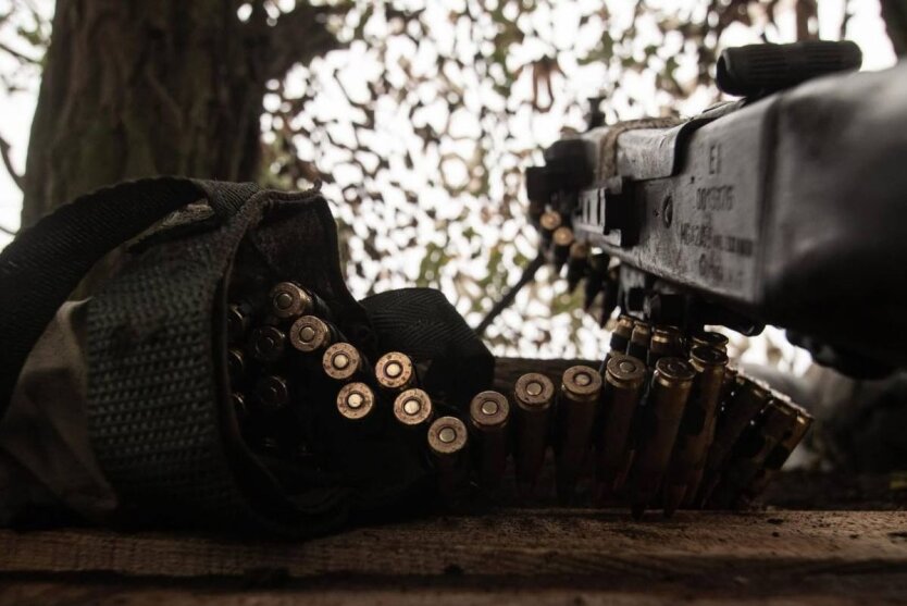
American military officials also point out that Ukraine is demonstrating its ability to conduct "combined arms" maneuvers in the Kursk region. Constant infantry, armored, and artillery attacks confirm this.
Source: RBC-Ukraine
Read also
- Russians are vainly trying to break through the defenses of the Armed Forces of Ukraine on the left bank of the Dnipro - military
- Italy Unveils Amount of Seized Assets of Russian Oligarchs
- Ukraine's military experience will help NATO counter Russia - intelligence
- The brigades have up to 20 billion UAH left in their accounts - Shmyhal
- China reacted to the Kremlin's statements on continuing the war with Ukraine
- The military explained how the enemy's tactics have changed in the Vovchansk direction