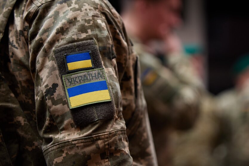
Google Maps upset Ukrainians' positions photos: Russians actively using snapshots.


Updated Google Maps photos 'revealed' the locations of Ukrainian military positions.
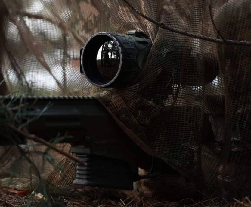
Head of the Center for Countering Disinformation (CPD) Andriy Kovalenko reported that updated Google Maps photos revealed the locations of Ukrainian military positions. He appealed to Google Maps to correct this situation, but received a response that it was impossible due to the weekend. Russians, in turn, are actively using these snapshots.
"Imagine the situation. Google posts updated images on maps showing the locations of our military systems. We asked them to quickly correct this, but they said they are off on weekends. Russians are already actively using these snapshots. What is wrong with this world?" - Kovalenko wrote.
After the public reaction, the head of CPD reported that he contacted Google representatives. They are already working on correcting the situation with snapshots of the locations of Ukrainian military systems.
"We will also discuss how to promptly resolve similar issues in the future," - Kovalenko added.
Reminder, Russia attacked Kyiv and the region with drones overnight.
Read also
- Military explains why Russians significantly intensified their offensive in the Novopavlivka direction
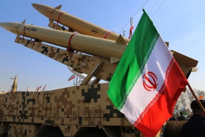
- Is Iran creating nuclear weapons: US intelligence data
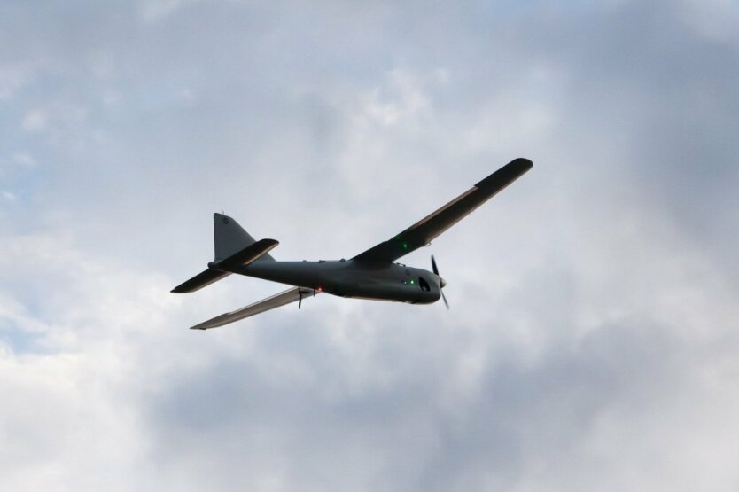
- The Russian Army is increasing the use of drones at the border
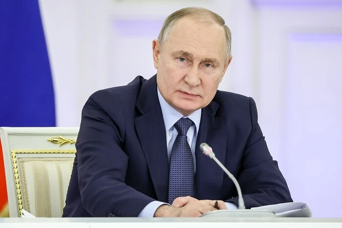
- Putin explained why he killed dozens of peaceful people in Kyiv on June 17
- Inventors in the Armed Forces of Ukraine to Receive Money: The Ministry of Defense Will Introduce a Reward System
- The EU has finalized the dates for approving a new sanctions package against Russia